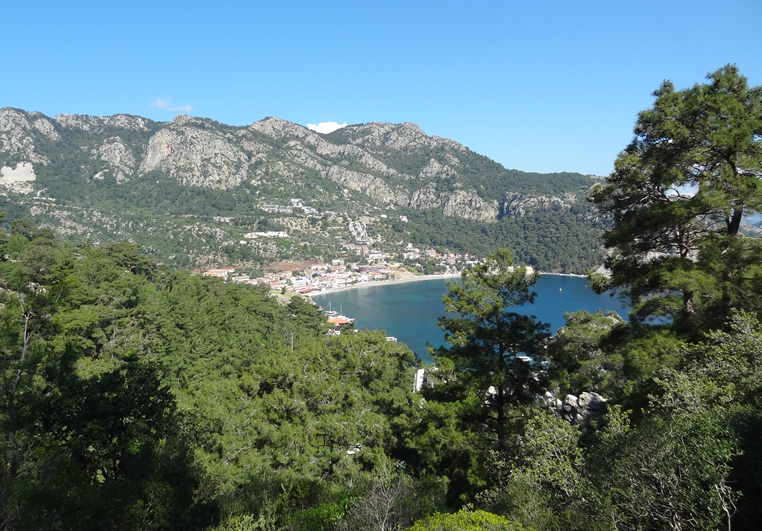
One of the best walks from Turunç with stunning views, a hidden mountain plateau, and incredibly varied terrain. This is a reasonably strenuous circular walk that is well way marked for most parts although some markers near the start have been lost due to forest fires and dam construction.
The walk takes 3 to 4 hours, although you should allow longer on a hot day, and remember to take plenty of drinking water, sun blocker and a sun hat.
The return route is via the Amos mountain track or, if you prefer an easier route back, just follow the Amos road back to Turunç.
If you haven’t already visited the ruins of the ancient city of Amos (Amos Antik Kenti), dating back to around 200 BCE, then these are easily included in the walk where the track descends from Dionysos to join the Amos road. See also the Amos by Road walk for a separate walk directly from Turunç to the Amos ruins.
Amos dates to the Hellenistic era and now consists of an amphitheatre on the side of the hill, a temple and statue pedestals. Surrounded by ramparts dating back to the same time, this amphitheater is in good condition, including its seating area, side walls and stage with three chambers. Excavations in 1948 by Professor George Evards Bean revealed four inscriptions, which mentioned three rental contracts, thought to date from around 300 to 200 BCE.
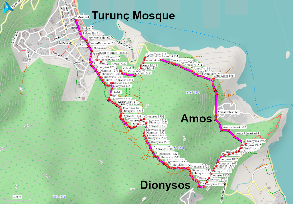
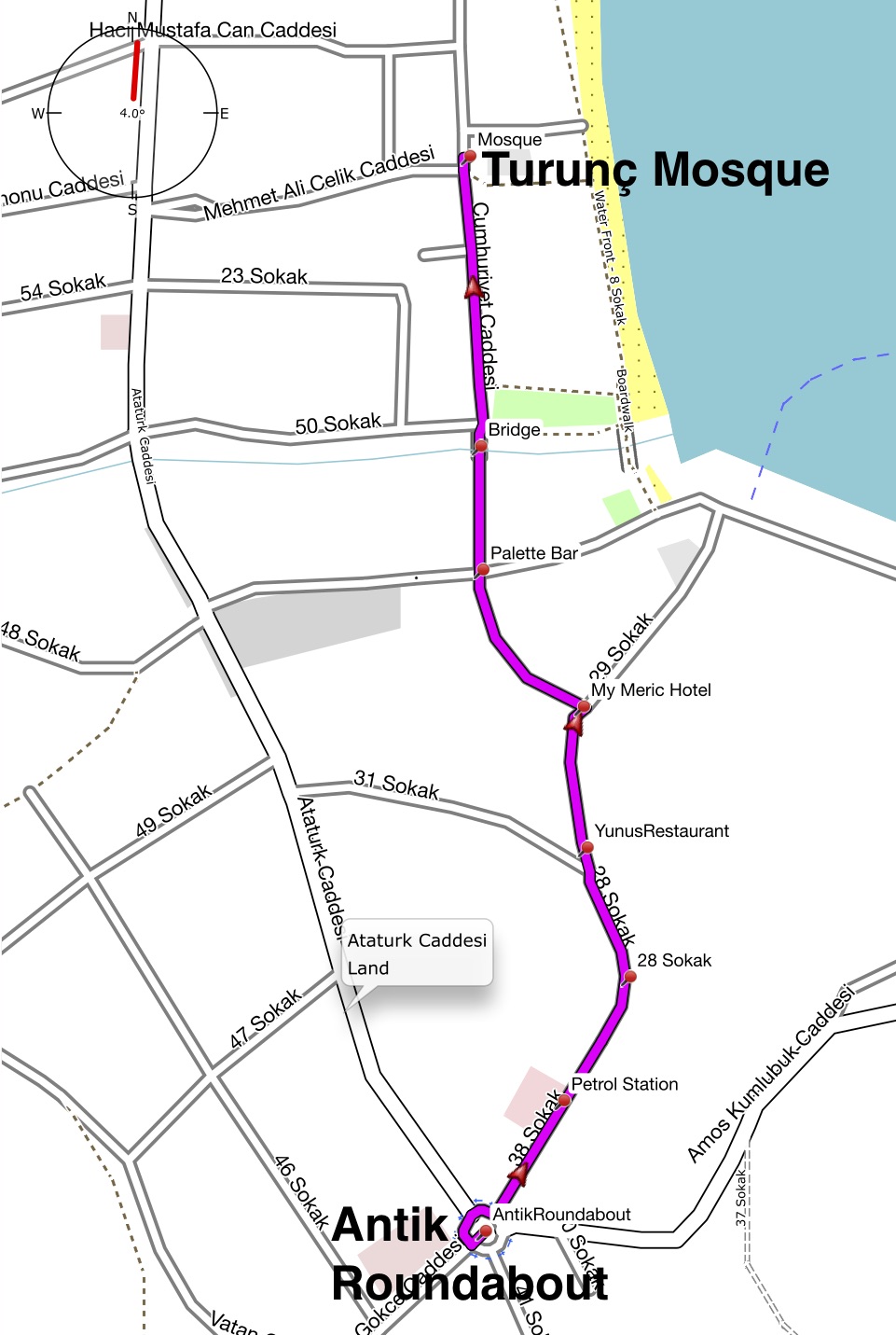
The walk starts at the village Mosque in the middle of Turunç. From here, proceed south along the main street (with the sea on your left), cross over the canal bridge toward Palette Bar.
Follow the road up a gentle hill to MyMeriç Hotel with Veranda restaurant on your right. Here keep right and continue following the road. Another road joins from the right and shortly after you pass the now closed Turunç petrol station on your right. A little further and you reach a roundabout road junction - Antik Restaurant will be in front of you to the right.
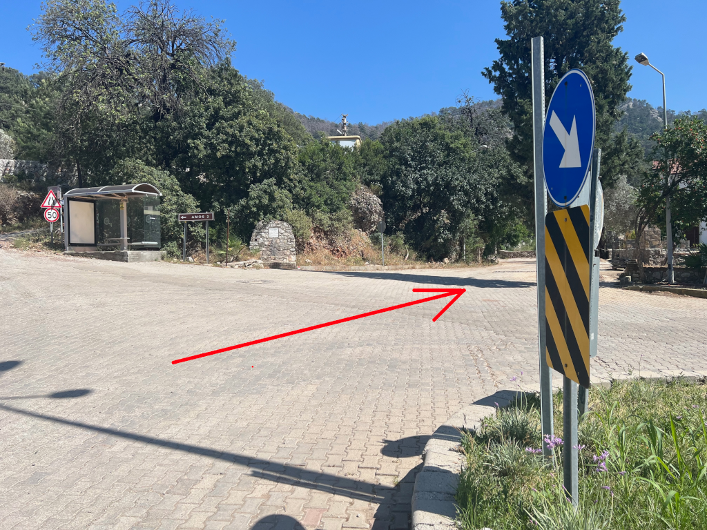
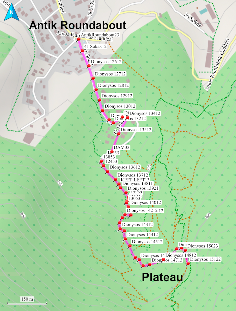
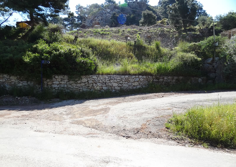
Take the second turning on the left at the Antik roundabout to enter 41 Sokak – do NOT follow the road signposted to Amos.
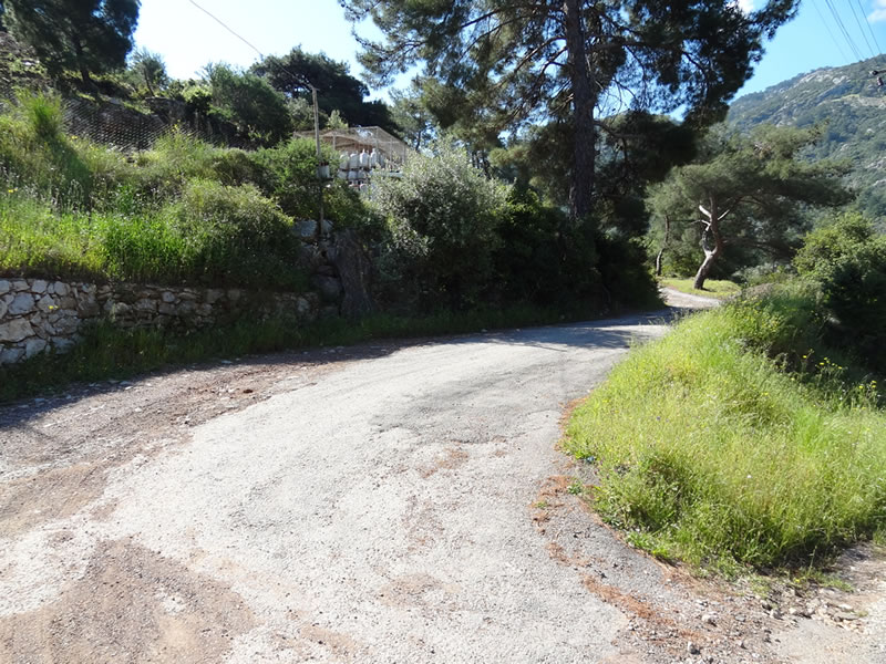
Follow 41 Sokak uphill, keeping to the left and ignoring turnings on your right. A new housing development will be below on your right.
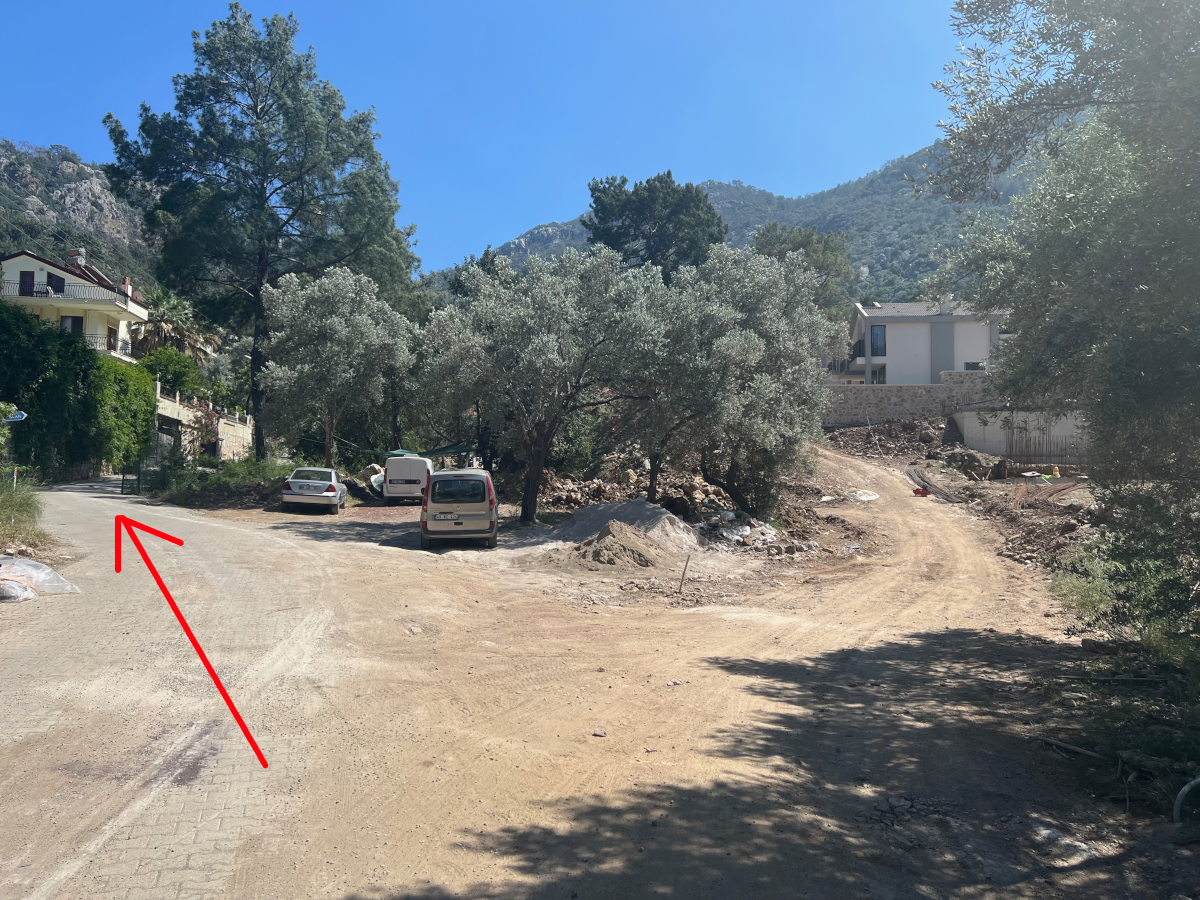
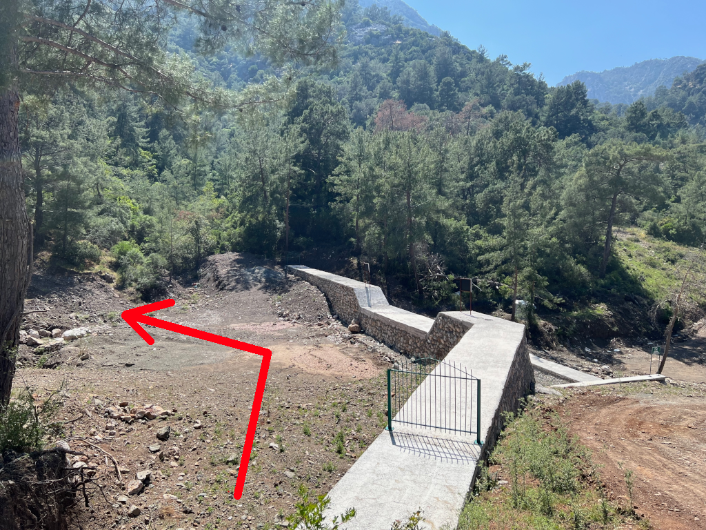
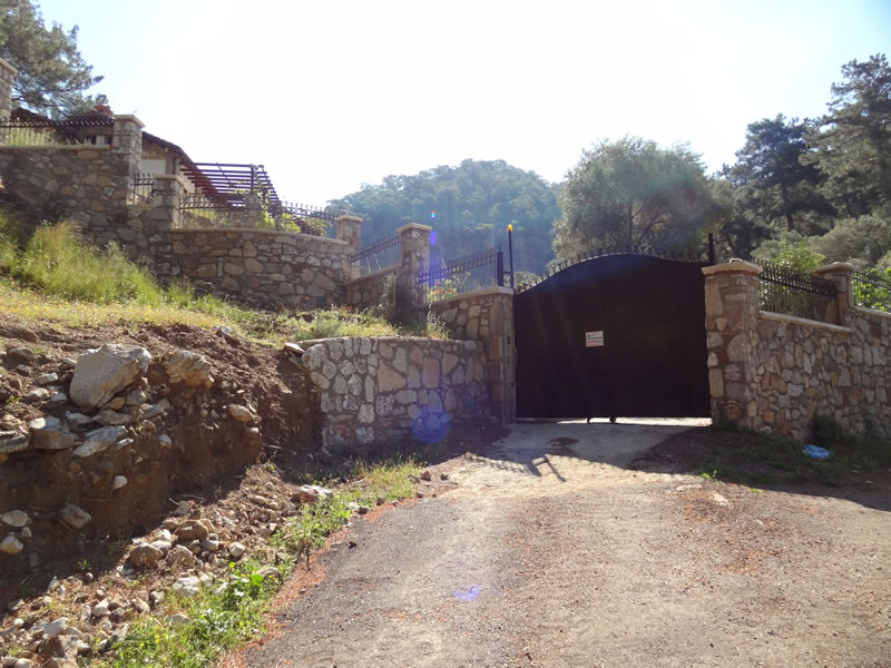
At the top of the hill the road turn sharp left and rises steeply and then turns sharp right. There is a high wall on your left with houses behind and new build houses on your right. Continue to the end of this road where you will see the newly built dam in front and to the right.
Go straight ahead to pass left of the dam and immediately drop down to the base of the dam. Then turn left and look for the start of the forest track.
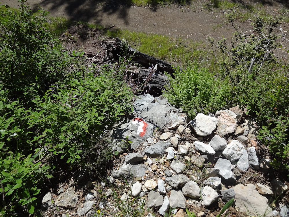
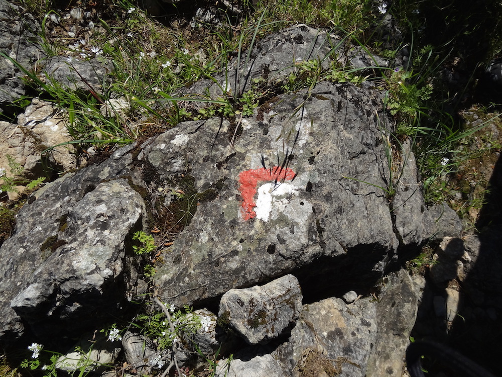
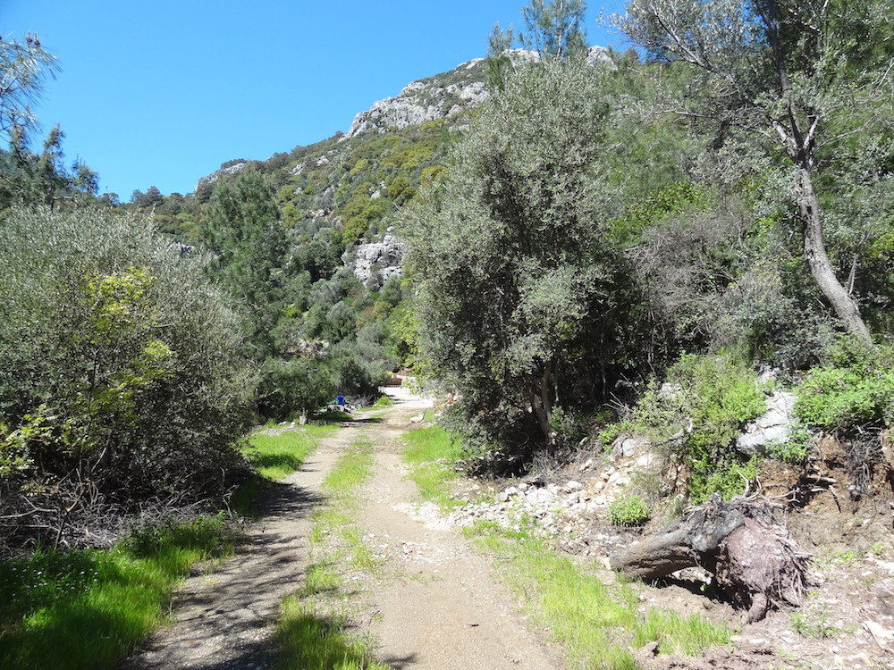
Follow the track for about 100m and then keep left as the track forks. Look out for the red and white waymarkers.
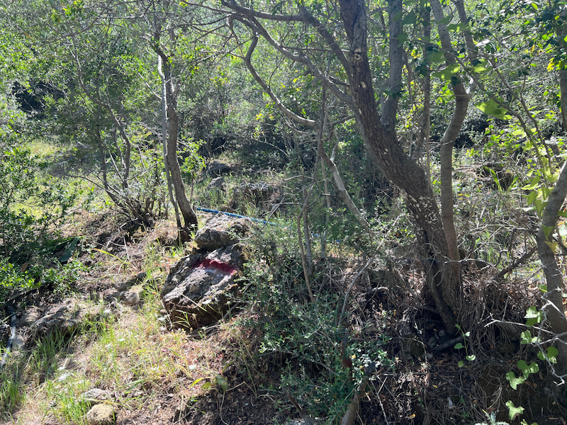
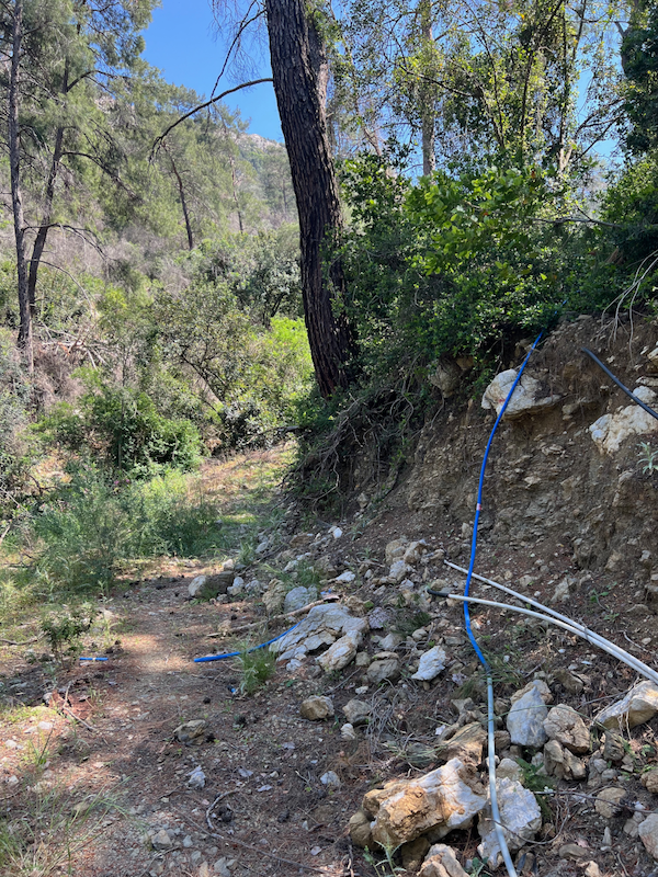
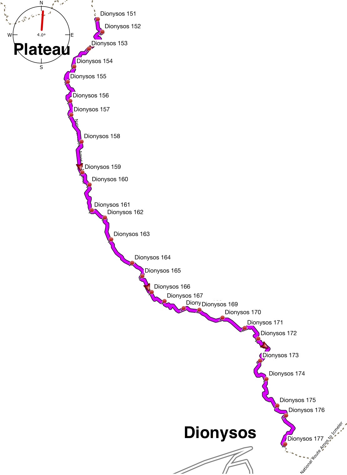
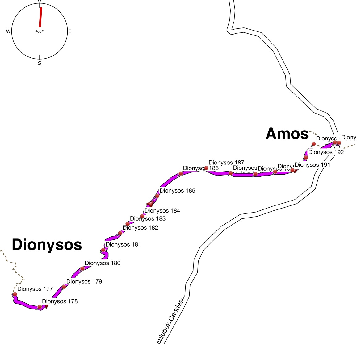
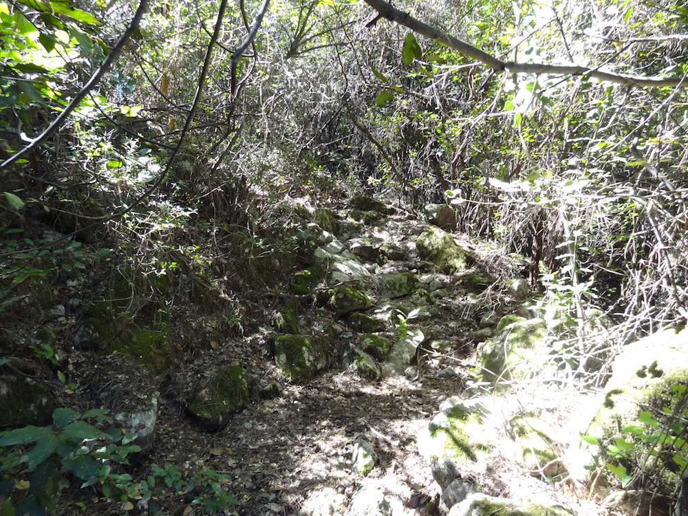
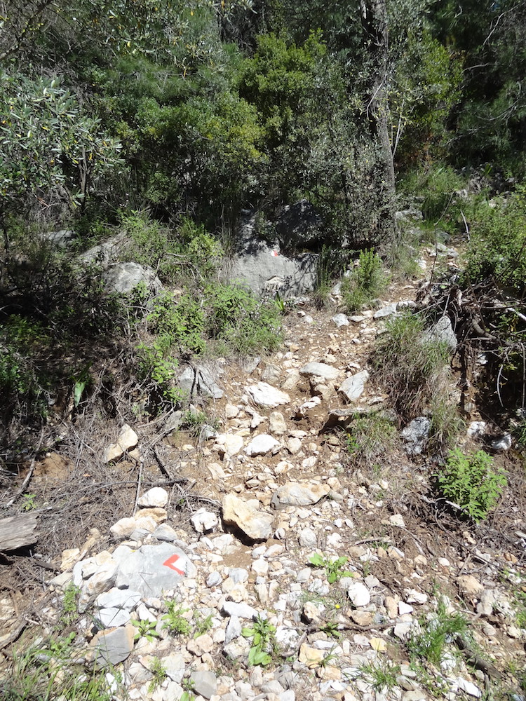
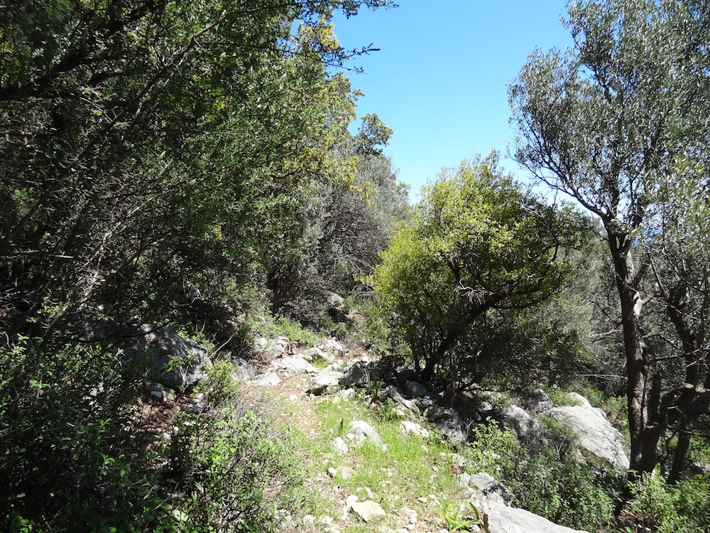
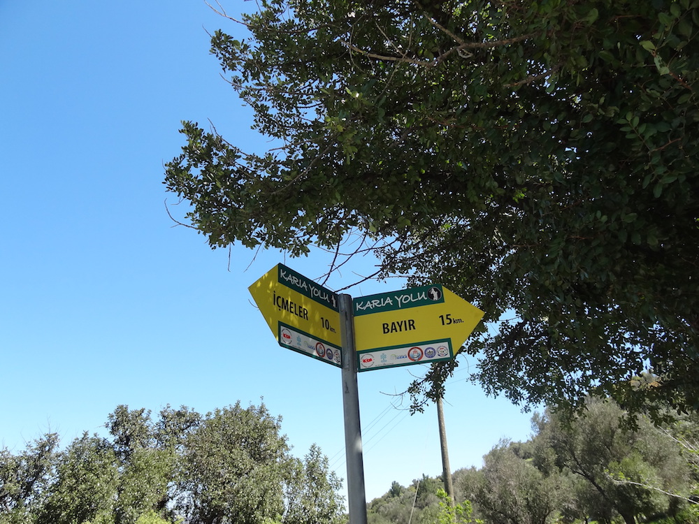
After another 100m you will see some water pipes on your right. The track used to follow these pipes but was damaged by fire prevention and timber works. Proceed straight ahead and when you come to what looks like a dead end, scramble up the rocks on your right to rejoin the clearly marked Carian Trail. Turn left and follow the way marked trail up to the Plateau (way marker Dionysos 1512).
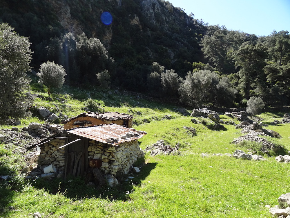
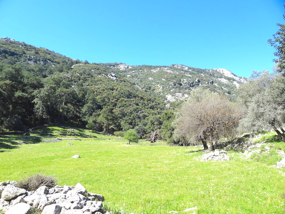
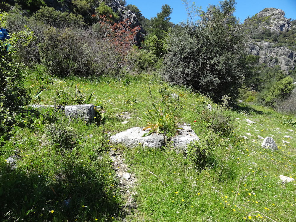
There are two dilapidated shepherds huts on your left. This is a great place to stop for lunch or a short break and enjoy the tranquility of this secluded and beautiful plateau.
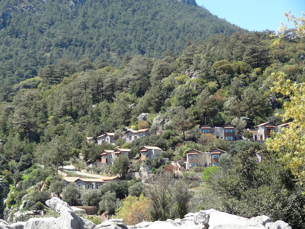
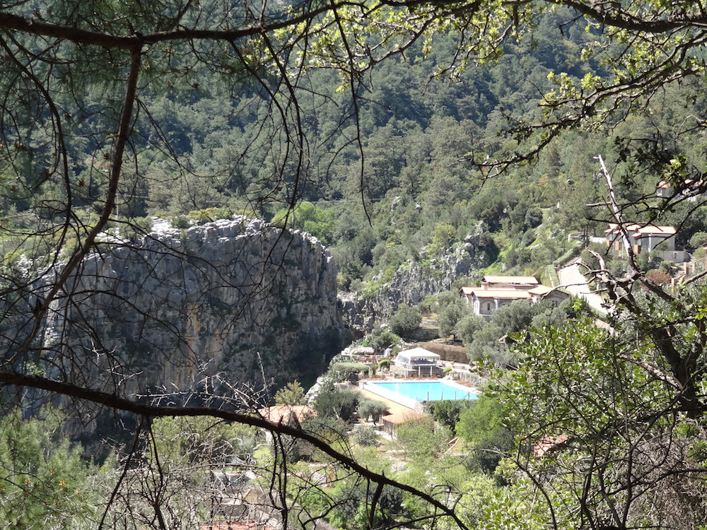
The track runs alongside the shepherds huts and then turns right to run along the far side of the plateau, keeping the stone wall on your right, before turning left to continue the ascent. After about a further kilometre the Dionysos Estate comes into view through the trees.
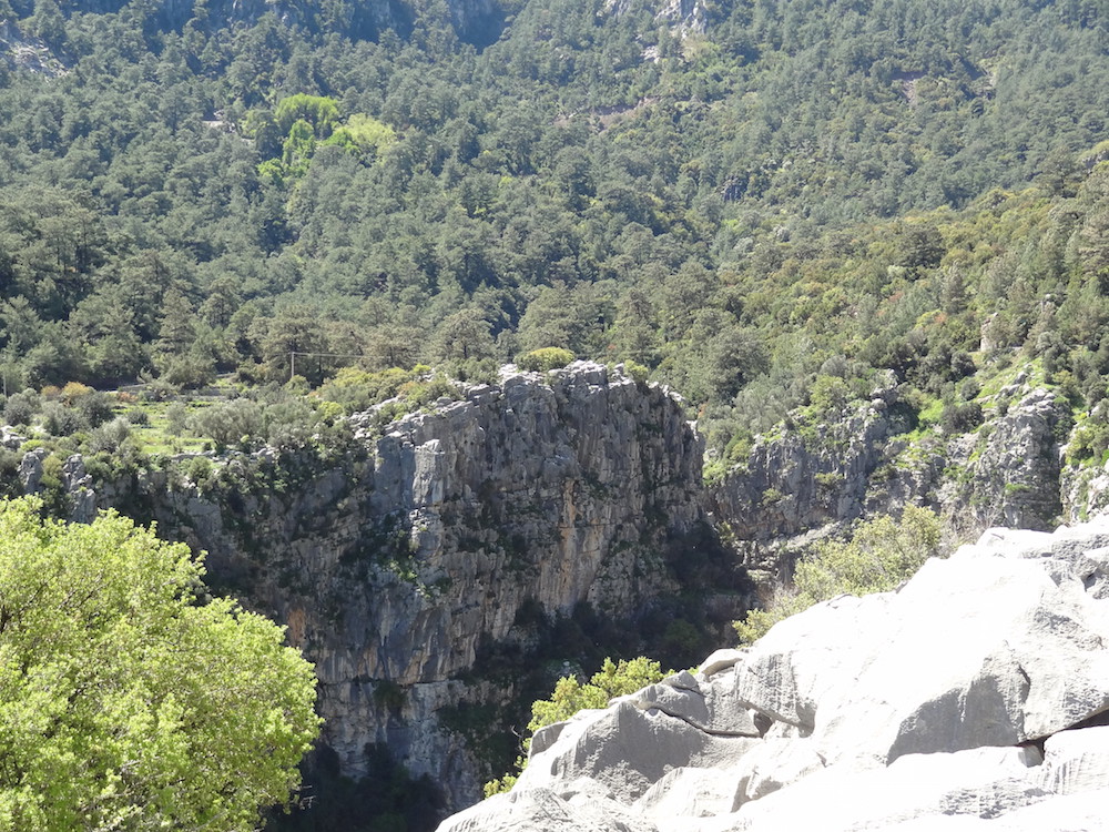
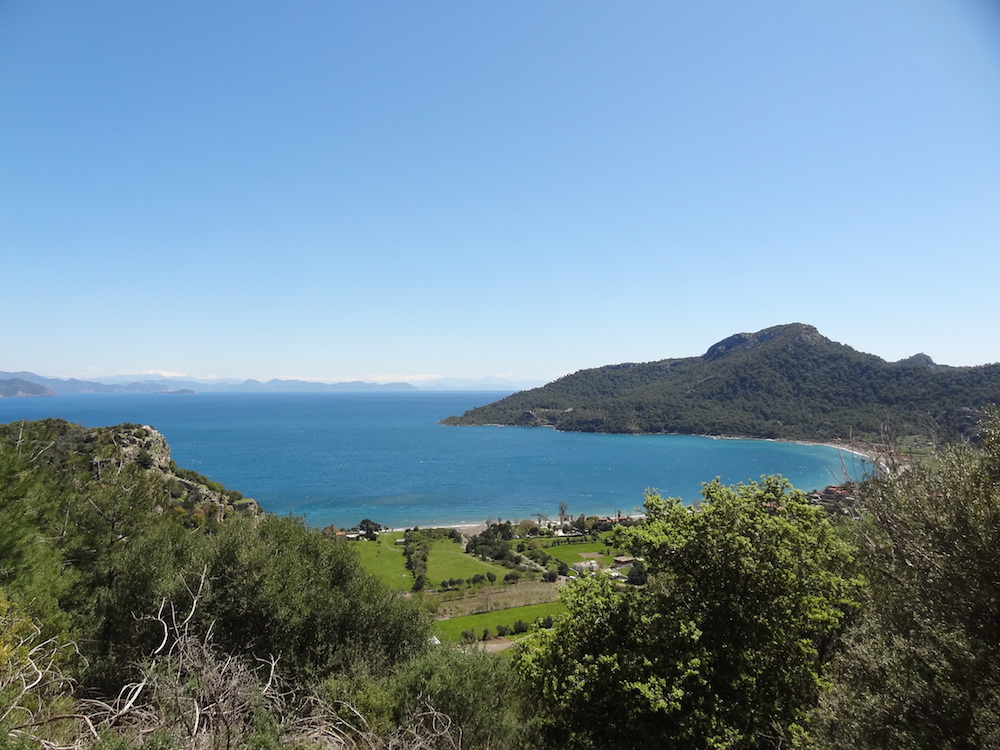
Dionysos is an exclusive holiday resort built over a huge canyon and with stunning views over Kumlubük Bay.
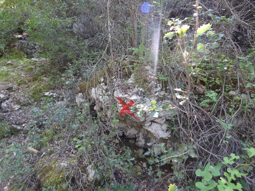
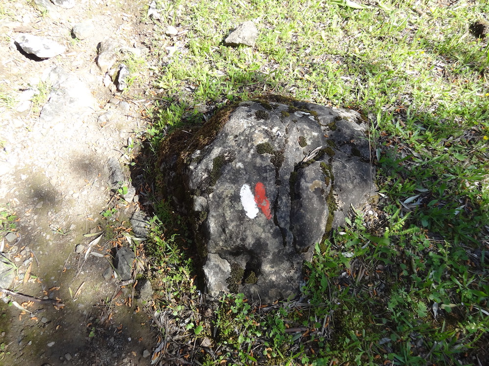
The track itself is very well way-marked so just look out for the red and white painted markings on rocks and trees. The markings not only confirm that you are on the right track but also indicate the direction the track takes.
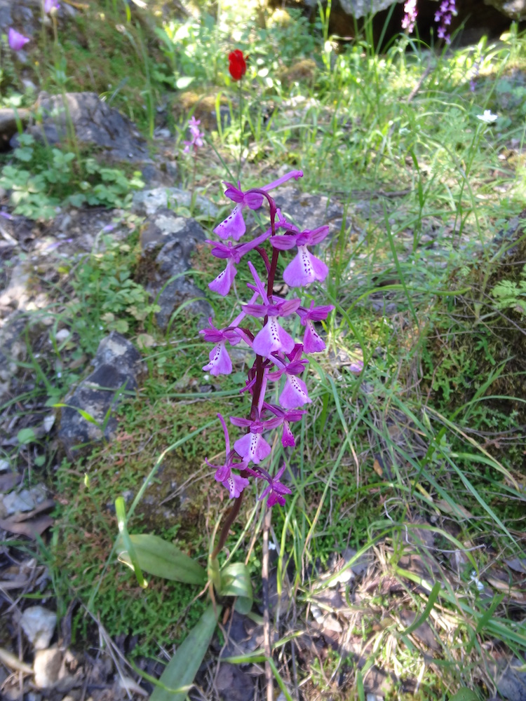
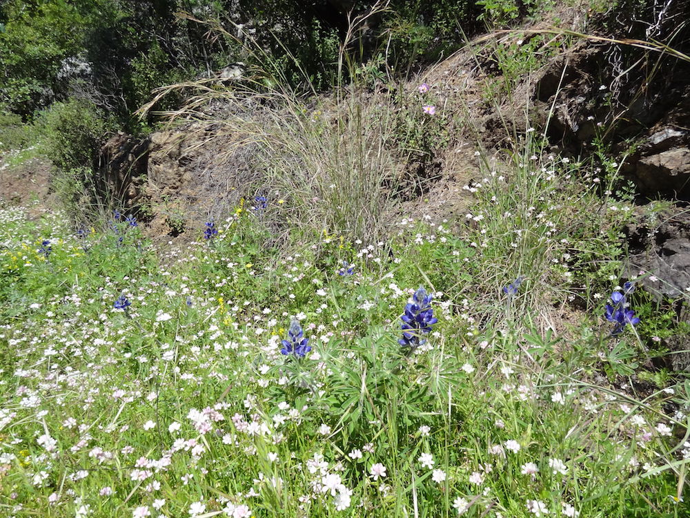
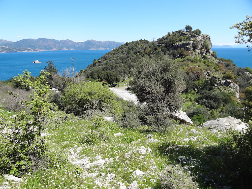
At any time of the year you can see a variety of interesting wild flowers.
Even when the track is indistinct, the way markers should keep you heading in the right direction.
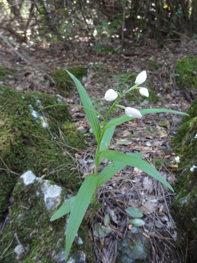
If you are walking the route early in the year (February to April) you may be lucky enough to see a rare Anatolian Orchid.
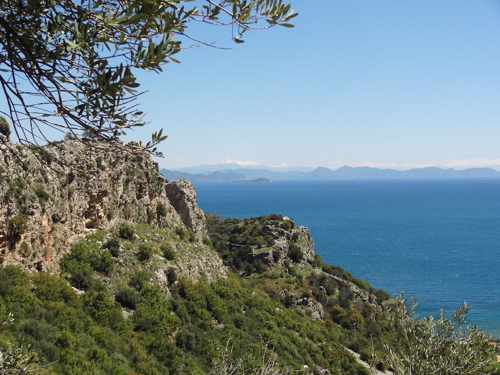
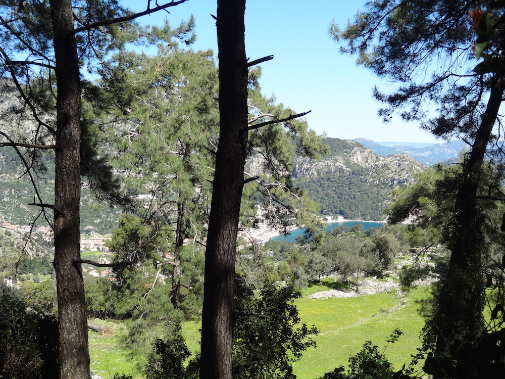
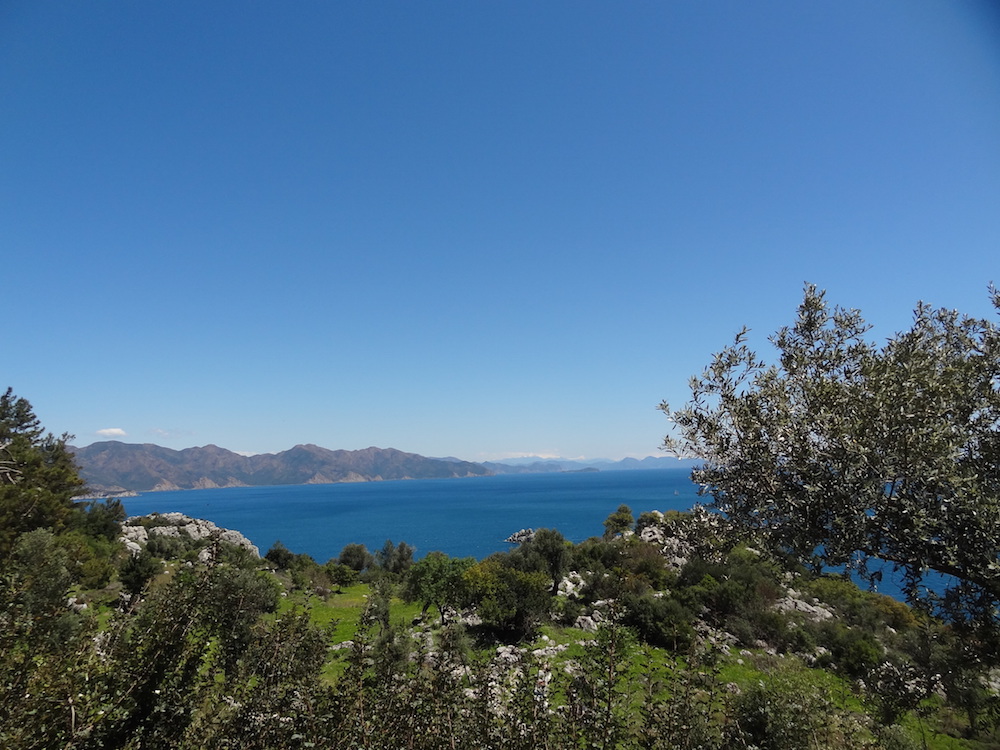
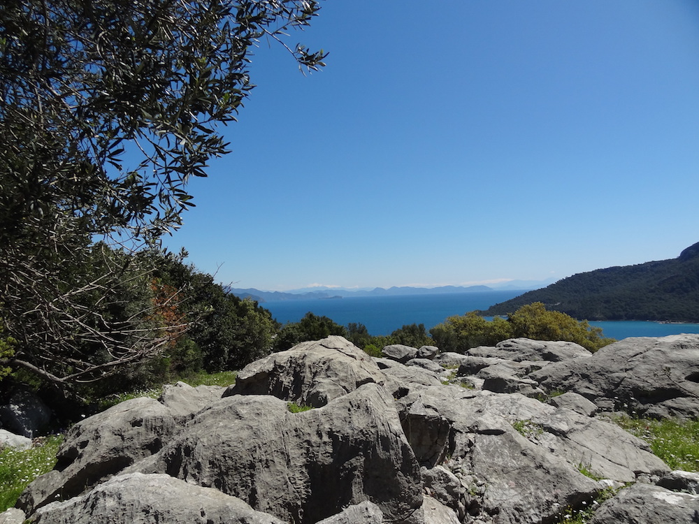
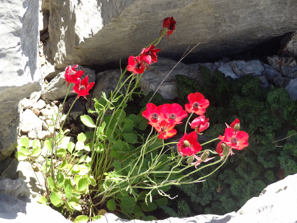
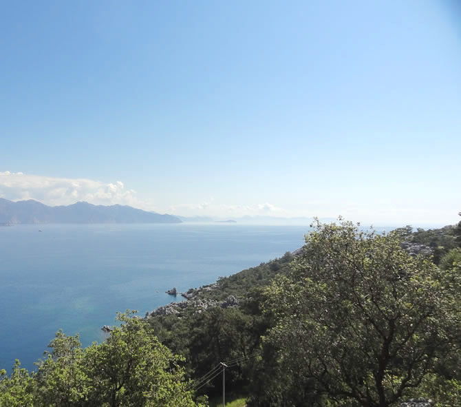
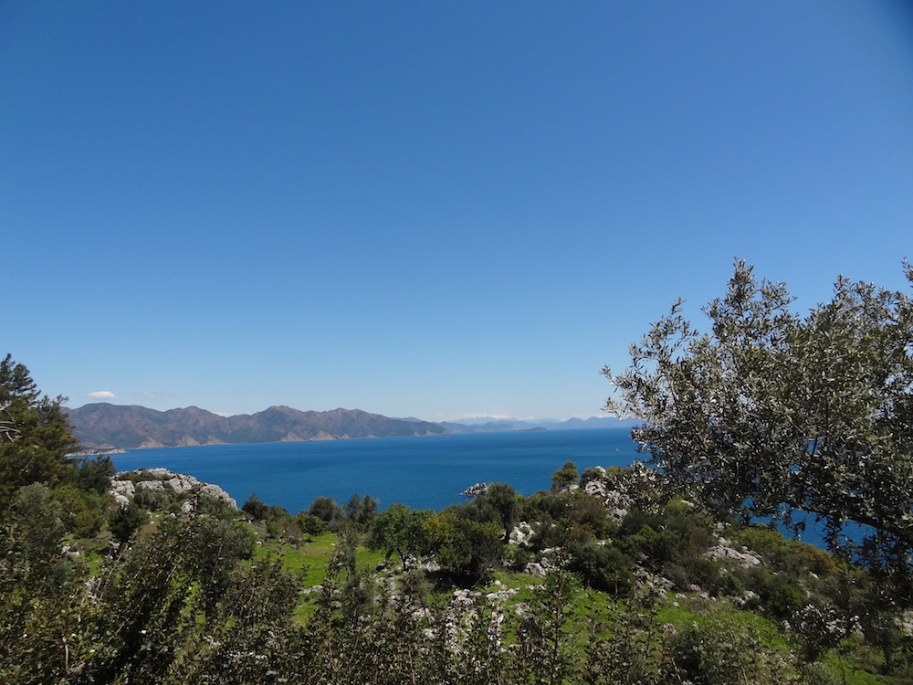
From the Dionysos Estate the track turns left and starts to head towards the sea. The track provides stunning views over Kumlubük Bay, the Dionysos Canyon, and back towards the Dionysos Estate. A large area of unusual, large rock formations provides another stopping off point. Look out for the wild flowers growing in the deep spaces between the rocks.
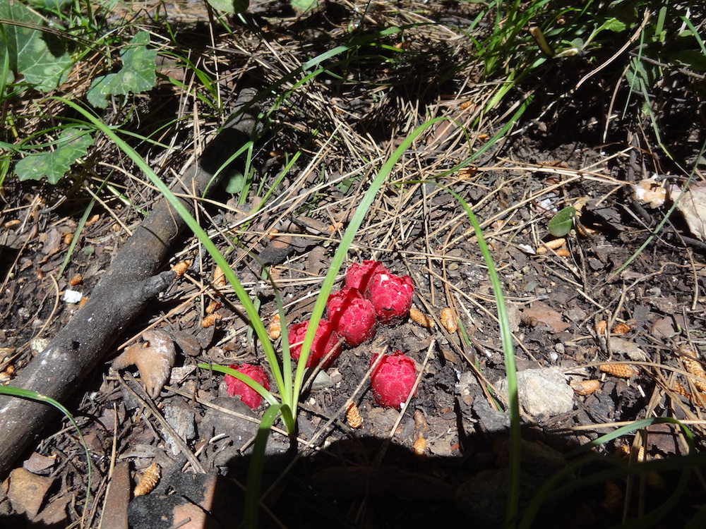
Keep an eye out for bright red Cytinus ruber plants. These are parasitic flowering plants, usually parasitizing rock roses. Depending on the time of year you may see them covered in small white flowers.
The track joins the Amos road next to the entrance to the Ancient City of Amos ruins. If you haven’t had chance to visit these ruins, now would be a great time!
Amos City dates to the Hellenistic era and now consists of an amphitheatre on the side of the hill, a temple and statue pedestals. Surrounded by ramparts dating back to the same time, this amphitheater is in good condition, including its seating area, side walls and stage with three chambers. Excavations in 1948 by Professor George Evards Bean revealed four inscriptions, which mentioned three rental contracts, thought to date from around 300 to 200 B.C.
See also the Amos by Road walk for a separate walk directly from Turunç to the Amos ruins. (http://www.turuncwalks.com/route.php?id=1).
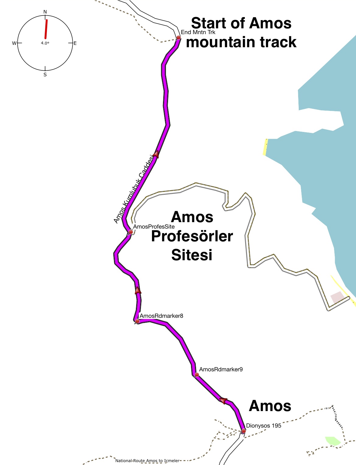
Join the Amos road and turn left. Following the road you will pass the Amos Profesörler Sitesi. Here you will find the famous Amos White Houses, at the top end of the site, and Amos Red Houses lower down. Formerly holiday homes for staff from Marmarar and Anadolu universities, they are now largely privately owned.
Follow the road for a further 500m and look out for the mountain track on your left, just as the road bends to the left. If you prefer a more leisurely return to Turunç you can stay on the road until it returns to the Antik roundabout.
The mountain track leaves the road heading directly away from the sea for a few meters. It then turns right, following the line of a fence through small trees and shrub before the track ascends, running parallel to the road below on the right.
The ascent is rough in places, with loose stone under foot, so care is required. You will need to stop to appreciate views back over Amos bay, and forwards towards Turunç at different parts of the track – and keep an eye out for the red and white way markers.
As the track descends toward Turunç village you will pass some large villas on your right after which the track becomes a road leading back to the Amos road, just above the Antik roundabout.
When the track joins the Amos road, turn left and head down to the Antik roundabout.
From the Antik roundabout take the first turning on your right (38 Sokak) and follow the road, retracing the first section of the walk, back to the village centre and Mosque.
No feedback has yet been received for this route. Please complete the feedback form to rate this route in terms of how much you enjoyed it.
You can help other walkers by telling them about the highlights, what you enjoyed most, and things to look out for.
Also, when you provide a rating you are helping others choose the most suitable walks.