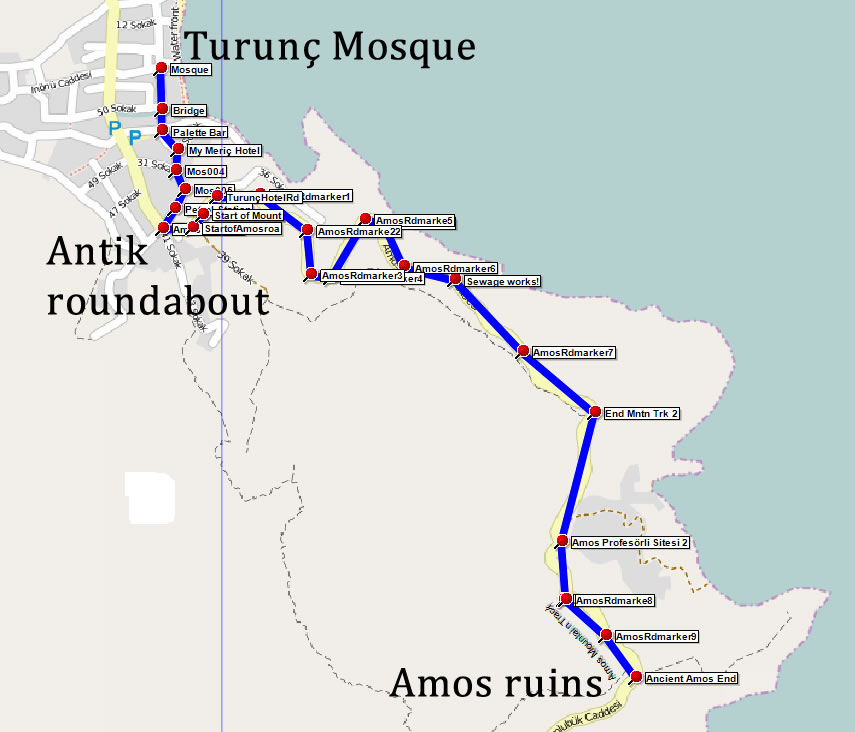
Route 4 - Amos Mountain Track

Category: Moderate
Distance: 8.2 km
Time: 4.0 hours

Downloads:

Amos Mountain (GPX) Amos Mountain (KML) Amos Mountain (PDF)

Click the PDF button to download a printable (PDF) copy of the entire route. Click the GPX button to download the route in a format suitable for smartphone apps and other navigation devices. Use KML to download the route in a format suitable for use with Google Earth.

A moderate, circular walk partly on paved roads and partly on a rough mountain track, leading to the ruins of the ancient city of Amos.

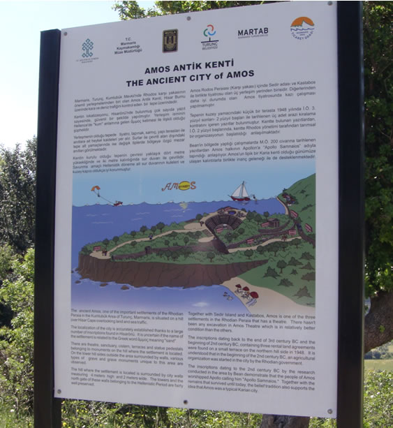
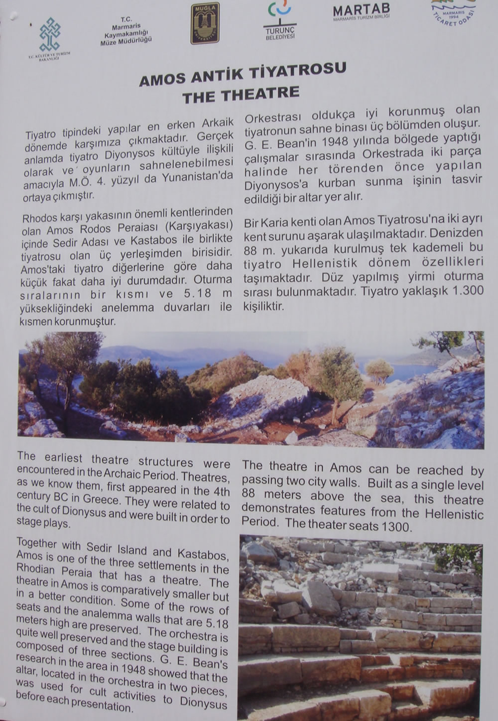
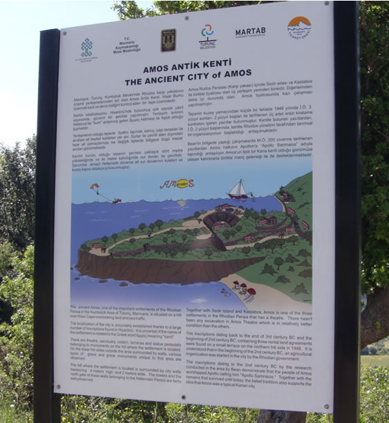
The ruins, thought to date back to around 200 B.C., are in surprisingly good condition, and are a must see for anyone visiting the area. The walk takes about four hours, although you should allow longer on a really hot day. The route uses a mountain track on the outgoing sections. The track is way marked and mostly very easy to follow but does include some sections over rough loose stone. To visit the ruins you again leave the road for a short distance but the path is in good condition and there are wooden steps to aid the climb to the ruins themselves. Alternatively you can take a rest and enjoy the views before embarking on the return to Turunç via the paved road. Amos dates to the Hellenistic era and now consists of an amphitheatre on the side of the hill, a temple and statue pedestals. Surrounded by ramparts dating back to the same time, this amphitheater is in good condition, including its seating area, side walls and stage with three chambers. Excavations in 1948 by Professor George Evards Bean revealed four inscriptions, which mentioned three rental contracts, thought to date from around 300 to 200 B.C.
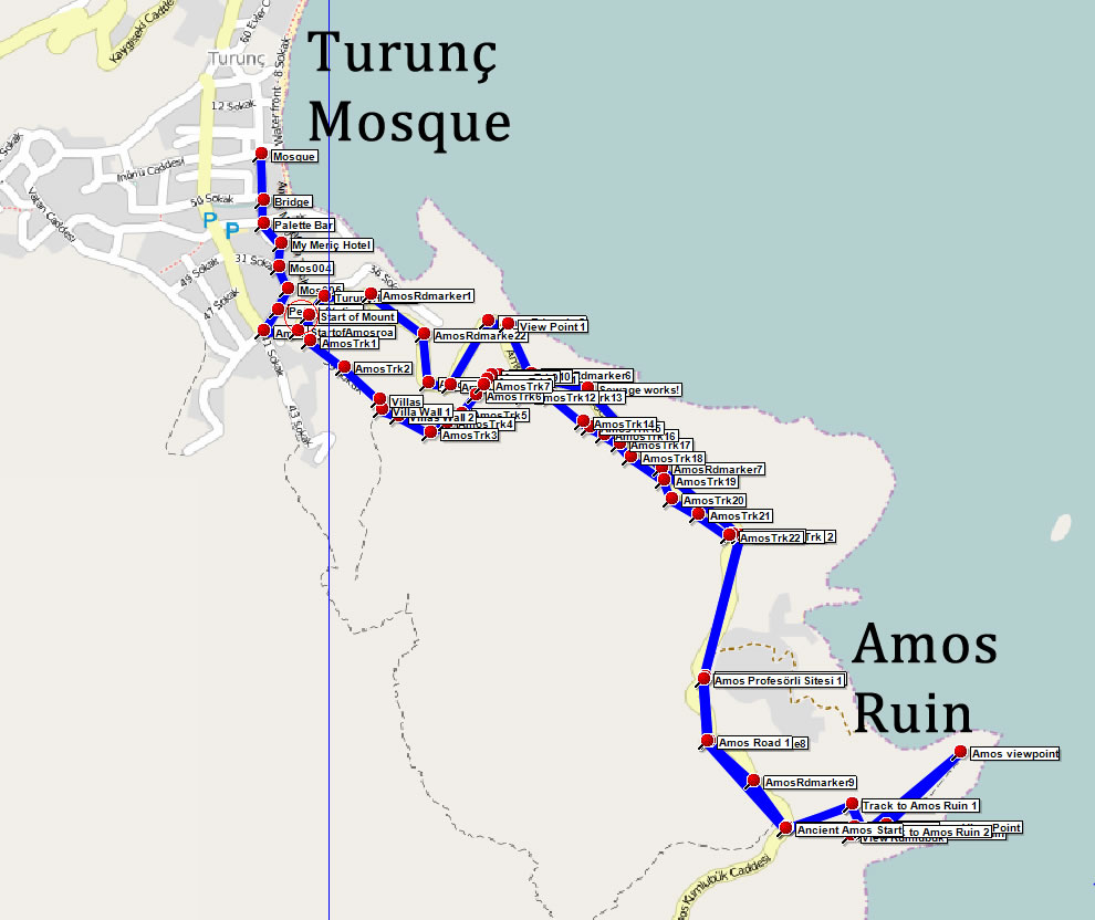
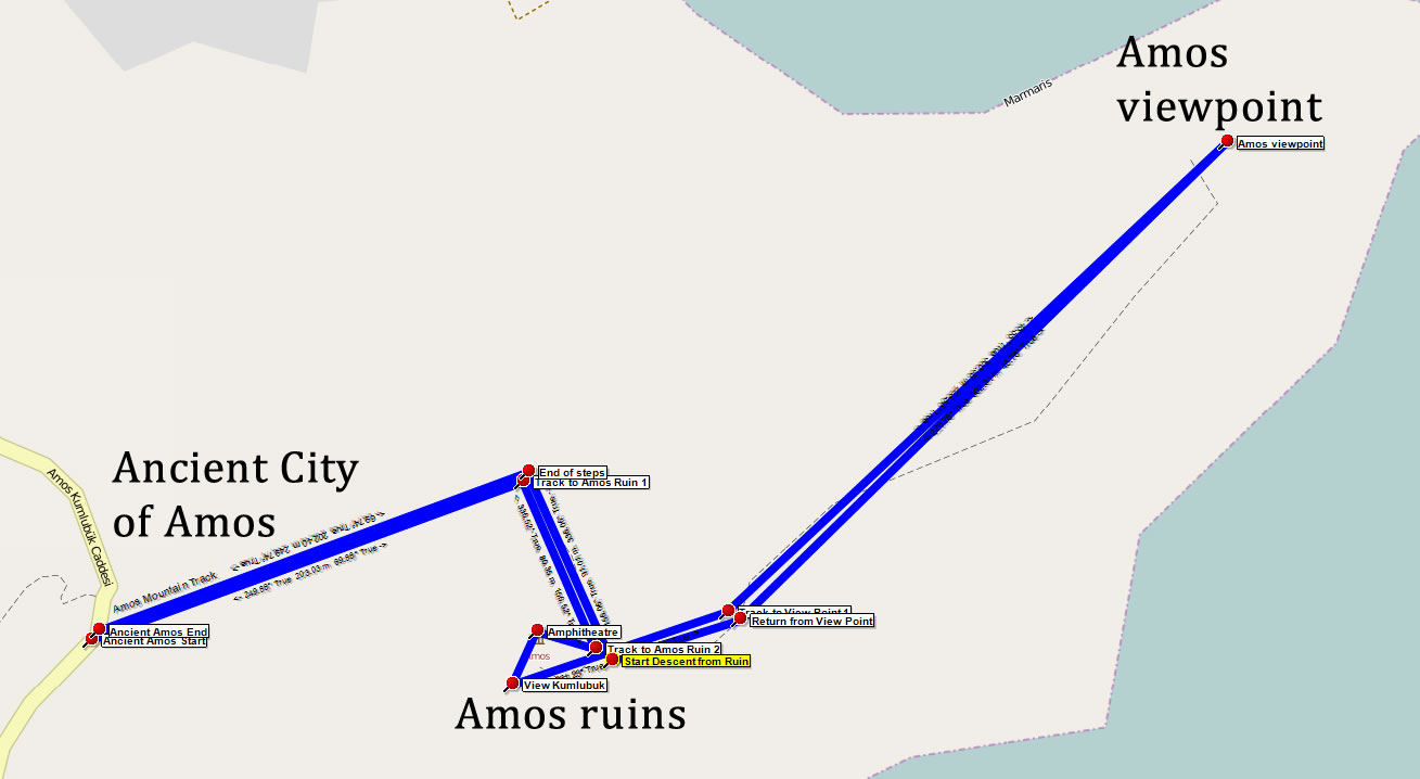
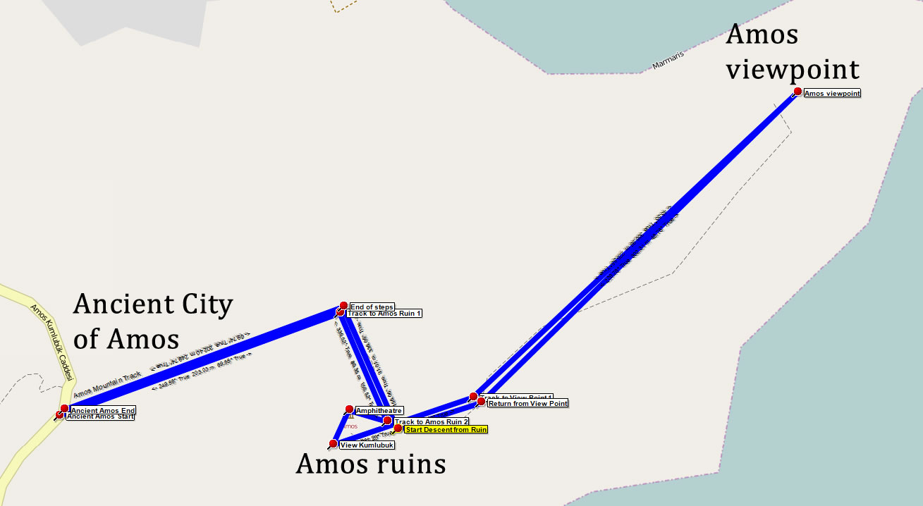
Route Image
Amos Mountain Track
Route Image
The Ancient City of Amos

View the complete route in Google Maps:

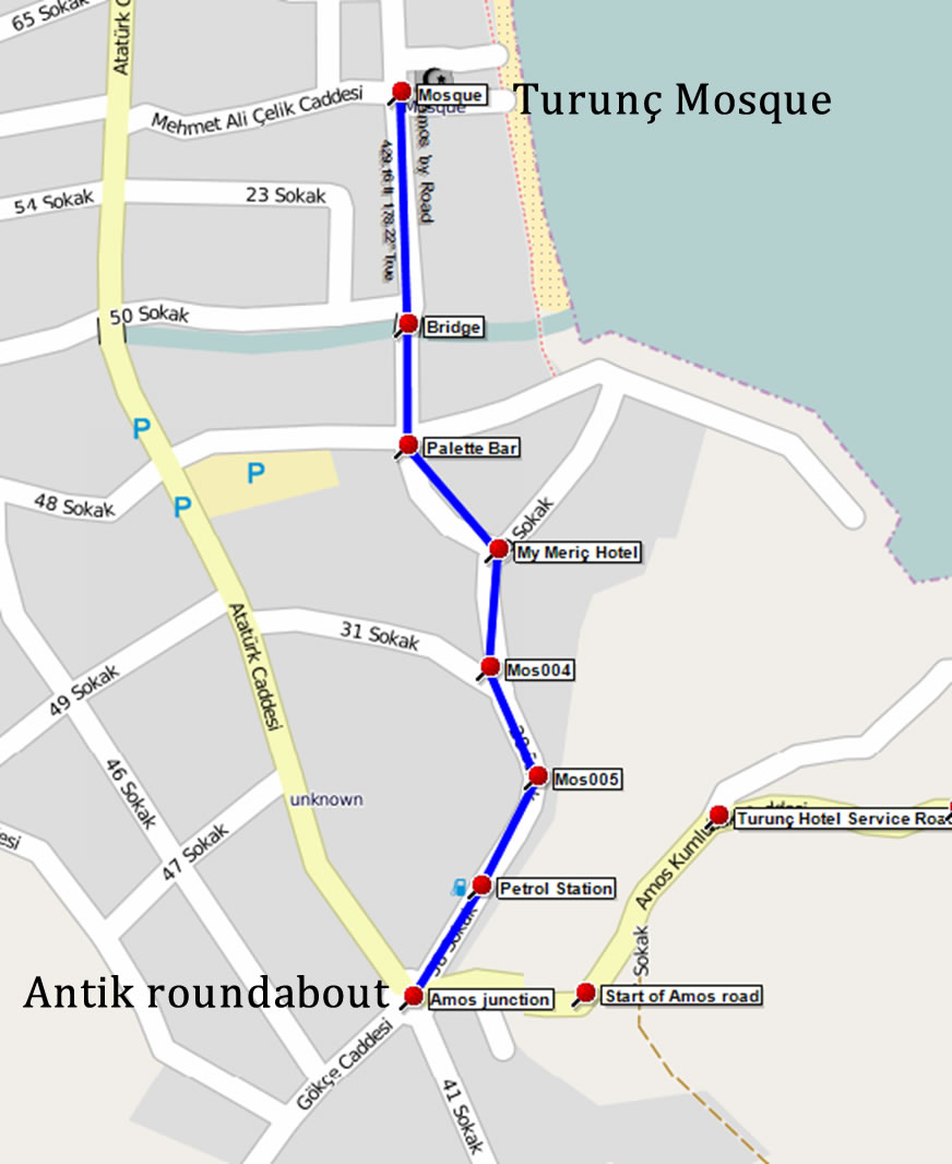
1 - Mosque to Antik roundabout (550m)

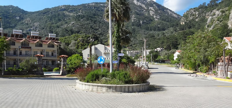
The walk starts at the village Mosque in the middle of Turunç. From here, proceed south along the main street, cross over the canal bridge toward Palette Bar. Follow the road up a gentle hill to MyMeriç Hotel. Here keep right and continue following the road. Another road joins from the right and shortly after you pass the only Turunç petrol station on your right. A little further and you reach a large road junction - Antik Restaurant will be in front of you.

Section Image
Overview map
Section Image
Antik roundabout

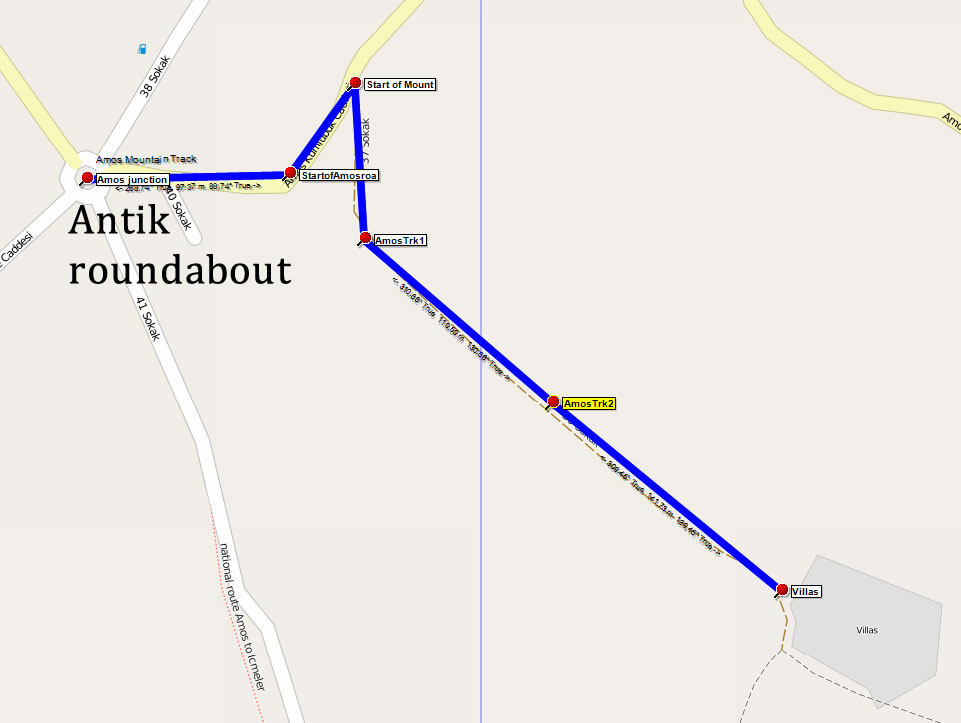
2 - Antik roundabout to Villas (490m)

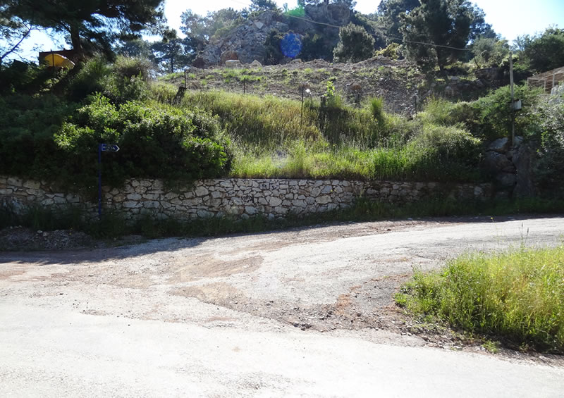
Turn left at the Antik roundabout, following the sign to Amos. After about 150m, as the road starts to climb, watch out for the turning on your right (37 Sokak leading to 39 Sokak) that is the start of the mountain track.

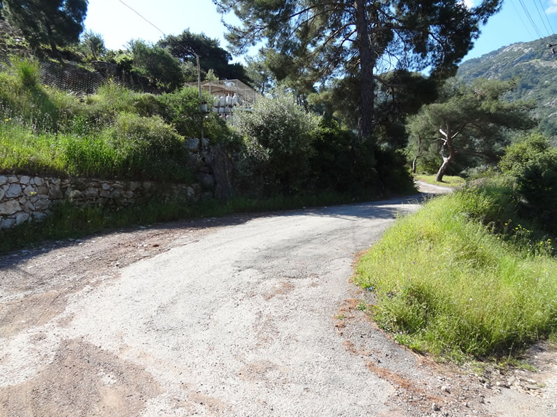
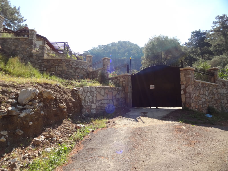
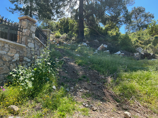
Keep to the left, ignoring tracks off to your right, and the track leads to the gate of some private villas. Go straight ahead, keeping the villa walls on your left. Follow the walls until the dirt track drops down into a little valley before heading up the mountain, turning to the left.

Section Image
Section 2 map
Section Image
Start of mountain track

Section Image
Ascend this track

Section Image
Villa gate

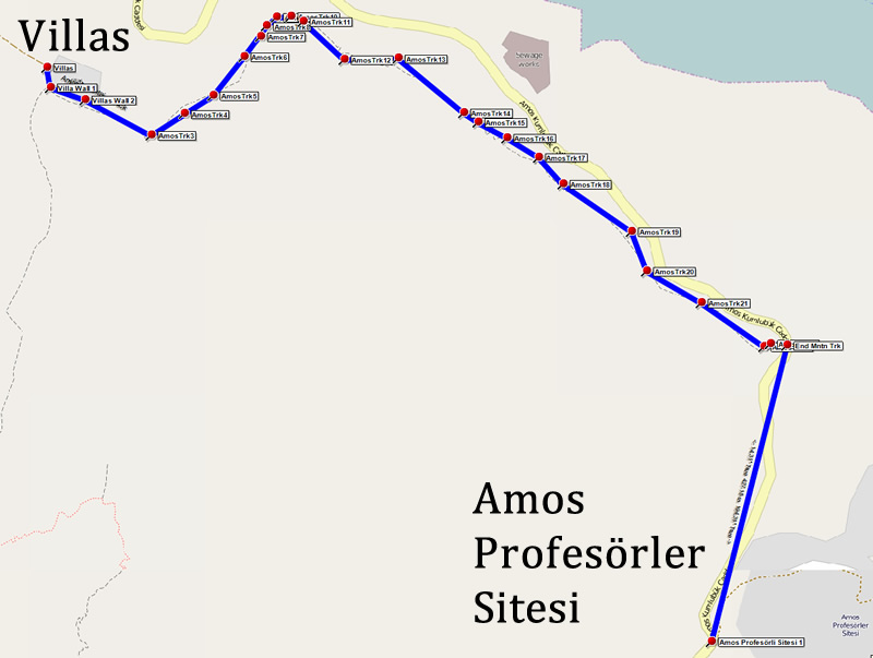
3 - Villas to Amos Profesörler Sitesi (1.74 km)

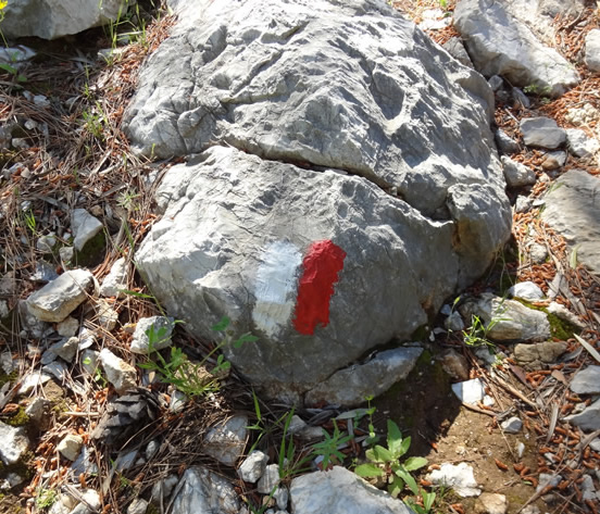
From the villas the track is reasonably easy to follow and is way marked with red and white paint on the rocks. The ascent is straightforward although care is required in a few places. Once on the top the route is easy, with a little caution required where the mountain drops down in places on your left.

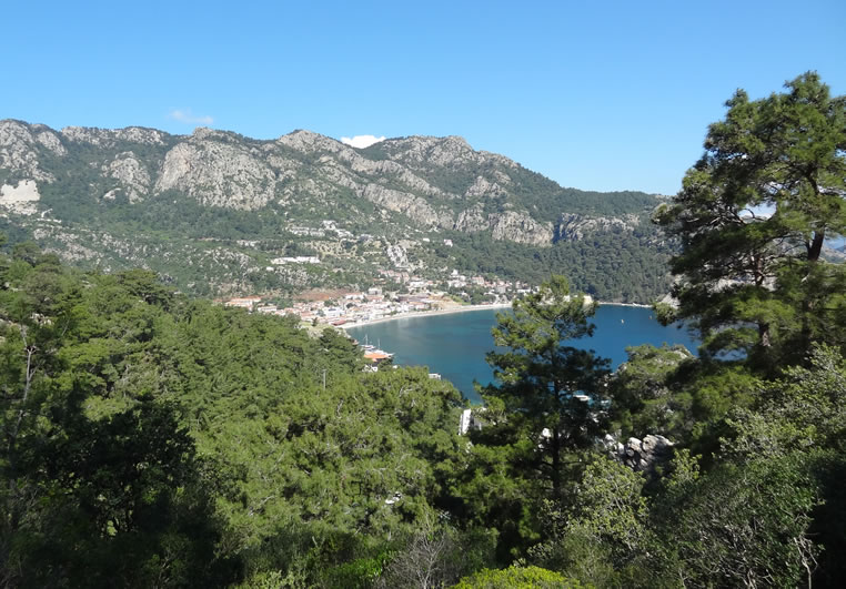
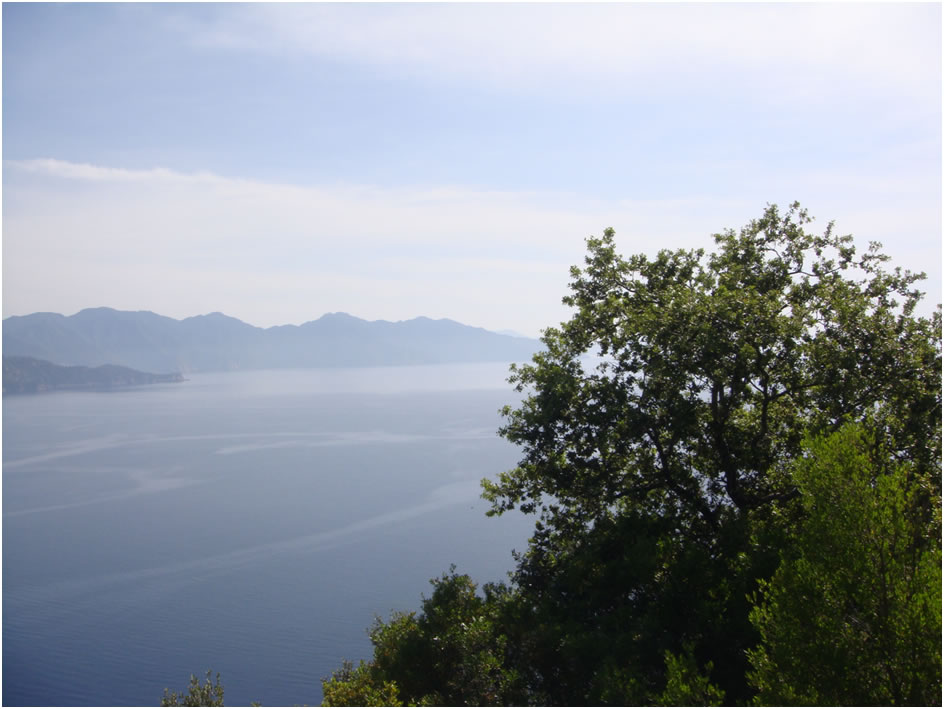
Take a moment to take in the views back to Turunç village ...

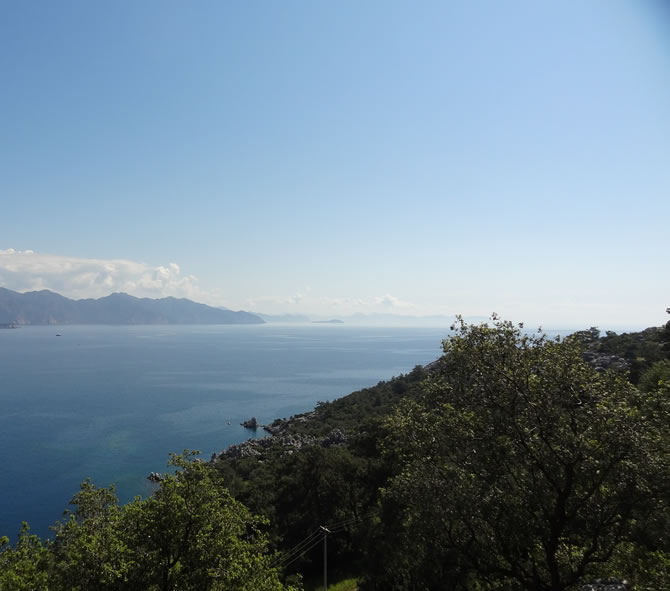
... and out to the south.

The descent is steep in a few parts and, due to the loose rock, requires caution However the majority is a very pleasant walk. As you approach the road (you will see it on your left) you will follow a fence line on your right and then turn left to join the Turunç to Amos road.

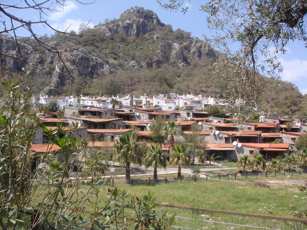
On joining the road, turn right. A further 200m or so and, on a bend, you will pass the entrance to the Amos Profesörler Sitesi. Here you will find the famous Amos White Houses, at the top end of the site, and Amos Red Houses lower down. Formerly holiday homes from staff from Marmarar and Anadolu universities, they are now largely privately owned.

Section Image
Section 3 map
Section Image
Way marker

Section Image
View back to Turunç village

Section Image
View south across the bay

Section Image
Amos Profesörli Sitesi.

Section Image
Track to right of Villas

4 - Amos Profesörler Sitesi to Amos (1.9 km)

The road continues for around 500m until you reach the ancient city of Amos. There is plenty of interesting scenery, flora and fauna to keep your interest as you approach this fascinating historical site. There is a clear sign showning the entrance to the site.

At this point the track leaves the road but is clearly marked and recently refurbished with new signs and wooden step on the steeper parts. The ancient ruins are quite unique and well worth the effort.

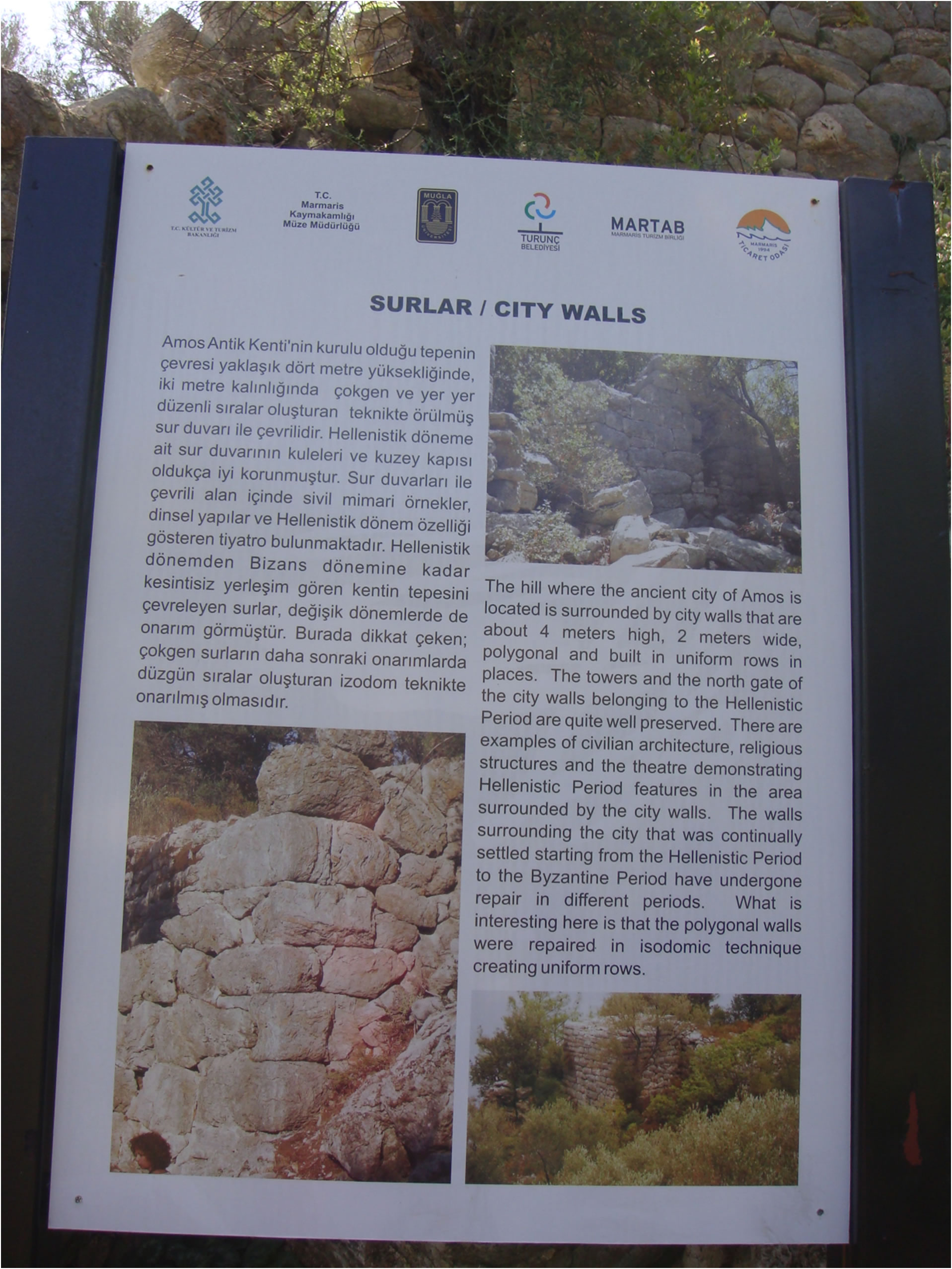
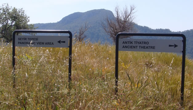
It is about 220m to the summit - look out for the remnants of the City Walls on the way up. At the summit you can turn right to visit the Theatre or left to go to the 'panoramic view area.'

A visit to the Ancient Theatre is essential. The whole site has never been excavated and you can sit in the theatre and view the stage while soaking in the atmosphere; this is a completely unspoiled site.

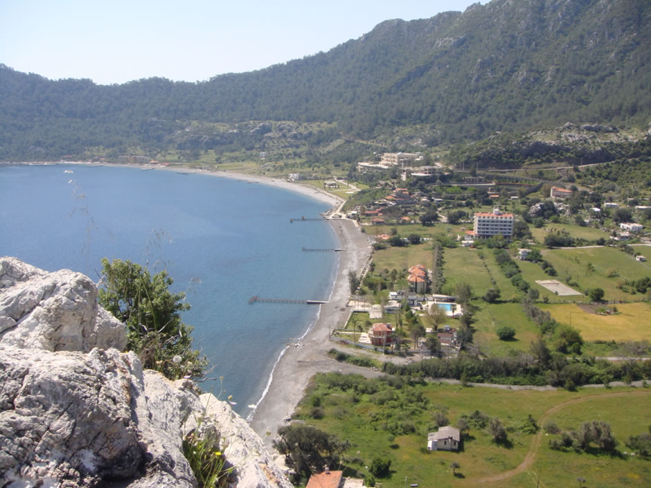
From the Theatre walk a few meters to View Point 2 and you can enjoy spectacular views over Kumlubükü Bay.

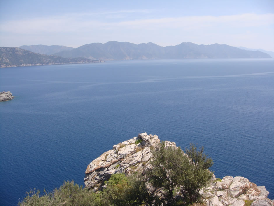
400m from View Point 2 you will find the spectacular Amos view point. This has stunning views over the Amos Profesörler Sitesi to your left, the Mediterranean straight ahead, and Kumlubükü Bay to your right. Watch out for the variety of insect and plant life on your way. When you are ready, retrace your steps and return to the road for the return journey.

Section Image
Section 4 route
Section Image
Entrance to the Ancient City of Amos

Section Image
Path up to the Amos ruins

Section Image
City walls

Section Image
Theatre or View Point?

Section Image
The Ancient Theatre

Section Image
View over Kumlubükü Bay

Section Image
View from Amos view point

5 - Return via road (3.5 km)

When you get back to the road from the Amos ruins, turn right. The return to Turunç follows the road all the way back to the village centre, although you can rejoin the mountain track if you prefer.

Approximately 200m after passing the Amos Profesörler Sitesi, on a bend, you will see the start of the mountain track on your left. You can turn left here and retrace the mountain track or continue on the road to make the return more interesting.

Continuing on the road for another 600m and you will pass the Turunç Sewerage Works set down towards the sea on your right - you probably won't want to linger here on a hot day!

From View Point 1 the road meanders downhill, passing the large Turunç Hotel on your right, emerging at the Antik roundabout where you turn right.

Passing the petrol station on your left, keep right at the Yunus (Dolphin) Restaurant and at the My Meriç Hotel keep left onto the main street leading you back to the village Mosque and the end of your walk.

Section Image
Section 5 map
Section Image
View Point 1

Feedback on Route 4 - Amos Mountain Track

Rating: StarStarStarStarStar (Rich: 04 Oct 2023)
Hi thanks for the guide. Did it today 04/10/23. 30+ deg. Was quite sheltered due to the cliff face. Hard to find the start of the track past the house on the track but managed due to the forest fire where they have cleared it. Not impossible though and with the gpx loaded into my suunto was done in a minute. Track has some drops and not for beginners. Set off at 9. walked to ruins then a steep walk down to Amos beach to cool off. Then returned by the road which took 41min from beach to turunc.
Rating: StarStarStarStarStar (Elizabeth: 07 Jun 2023)
We followed this route in June 2023. Sadly many of the way markers are no longer visible following the fires, very easy to stray off the track and get tangled up in the brambles. We had to abandon the track and we came back via the road, safer option.
Rating: StarStarStarStarStar (Ian: 02 May 2022)
Great walk to start the holiday. Route clear, and clearly marked. Rocky under foot to keep you alert and not too strenuous. Lots of photo opportunities towards Marmaris and Turunc. The open ruins at Amos were a treat for someone used to managed sites in UK. With no-one else at the site I really enjoyed investigating. Stunning views of Amos bay and Kumlubükü bay from the Amos view point. Journey back by road in the shade was a bonus.
Rating: StarStarStarStarStar (Tina and Mike: 05 May 2019)
A great walk with clear way markers in both red and white and also blue arrows. Quite rocky underfoot and the bushes are a little overgrown in places. It is worth it for the magnificent views alone. It took us about 2 hours to get there as we kept stopping to take photos and to look at the abundance of wild flowers. A walk with an ancient ruin at the end has to be pretty perfect and we sat with our picnic at the top of the Amos ancient theatre and enjoyed the views. We returned by the road , which was quicker but no comparison to the lovely mountain walk. Thank you for publishing/ maintaining the walks on this website. We plan to do some others during our stay here.
Rating: StarStarStarStarStar (Paul Boreham: 10 Jul 2016)
an excellent, enjoyable walk with great views. A clearly defined path with a number of painted markers. Does require good foot ware and remember to take plenty of water.
Rating: StarStarStarStarStar (Sue: 28 Oct 2015)
This was a great walk with enough challenge in terms of exercise and the views amazing! I did it in walking sandals and was fine - flip flops - NO! if you take kids they should be used to walking and old enough to do exactly what they are told as there are sheer drops - but no need to go very near the edge.We set out out at 8.30am so as to avoid the sun at its hottest (even in October) and once we reached the Roman ruins of Amos, we continued along the road and planned to get the dolmus back to Turunc. As luck would have it, a taxi stopped so we avoided the 30 min wait and paid 5TL each to be dropped at the door of our apartment in good time for a glass of wine and early lunch!! A fab walk and thank you to those of you who have put this website up. The directions and photos were invaluable.
Rating: StarStarStarStarStar (Steve Fawcett: 26 Oct 2015)
A great walk far preferable to the road in my opinion as you get higher and therefore better views. The view improves as you turn every corner on the climb. Not really one for flip flops but not overly strenuous if you are mobile. There are plenty of places to sit and admire the view if you need it.
Please provide us with your feedback/comments on this route so that other people can benefit from your experience. Your name and email address are optional. Your email address will never be displayed, but will allow us to respond if required. Your name, if provided, will be displayed along with your feedback. You can use your real name, initials, or a fictitious name.


1 2 3 4 5


CAPTCHA Image   Reload Image
Enter Code*:

quail-piping